Air Emory is a student-led air quality monitoring network. The first of its kind at Emory that displays real-time data around campus. This promotes awareness, general knowledge, and engagement for students and faculty alike about our interaction with the environment.
We currently have one sensor running outside at the Emory Math and Science Center, and are working on setting up more sensors around campus.
The Air Emory team is currently working to install an air quality monitoring network in our community. However, before we are able to build an extensive network in the area, please check out the different types of air quality monitoring networks below, including the federal air quality monitors (AirNow) and low-cost air quality sensors (Airly and Purple Air) to better comprehend the air quality. For more information on Federal Air Monitors, scroll to the video below!
Airly has over 4000 sensors installed worldwide. Their online maps integrate data about key weather parameters such as temperature, humidity, air pressure and wind along with pollution markers from the locations where the sensors are installed.The data are not quality assured (QA) or quality controlled (QC).
Air Emory is part of Airly’s #LetSchoolsBreathe campaign. For the Airly sensors that we placed in schools, we co-locate sensors with federal monitors for at least 2 months to bias-correct the data. For bias-corrected data, please refer to our data tab for monthly updates.
The widget below shows an Airly sensor reading close to the Air Emory sensor at Emory’s Math and Science Center.
Airly WebsitePurpleAir is a community air monitoring system of low-cost air quality sensors. The PurpleAir system is composed of many sensors that are installed, controlled and maintained by members of the community. These are also not quality assured or quality controlled.
Readings are then uploaded to the cloud every 80 seconds (or so) where they are stored for download and displayed on the PurpleAir map. Take a look below at the network of monitors so far!
PurpleAir WebsiteAirNow’s centralized data system of Federal Air Monitors provides quality control, national reporting consistency, and the ability to distribute data to the public, researchers, businesses, educators, and to other data systems.
AirNow has current and forecast air quality maps and data for more than 500 cities across the U.S. Click on the map below to externally explore AirNow’s interactive map on their website.
AirNow Website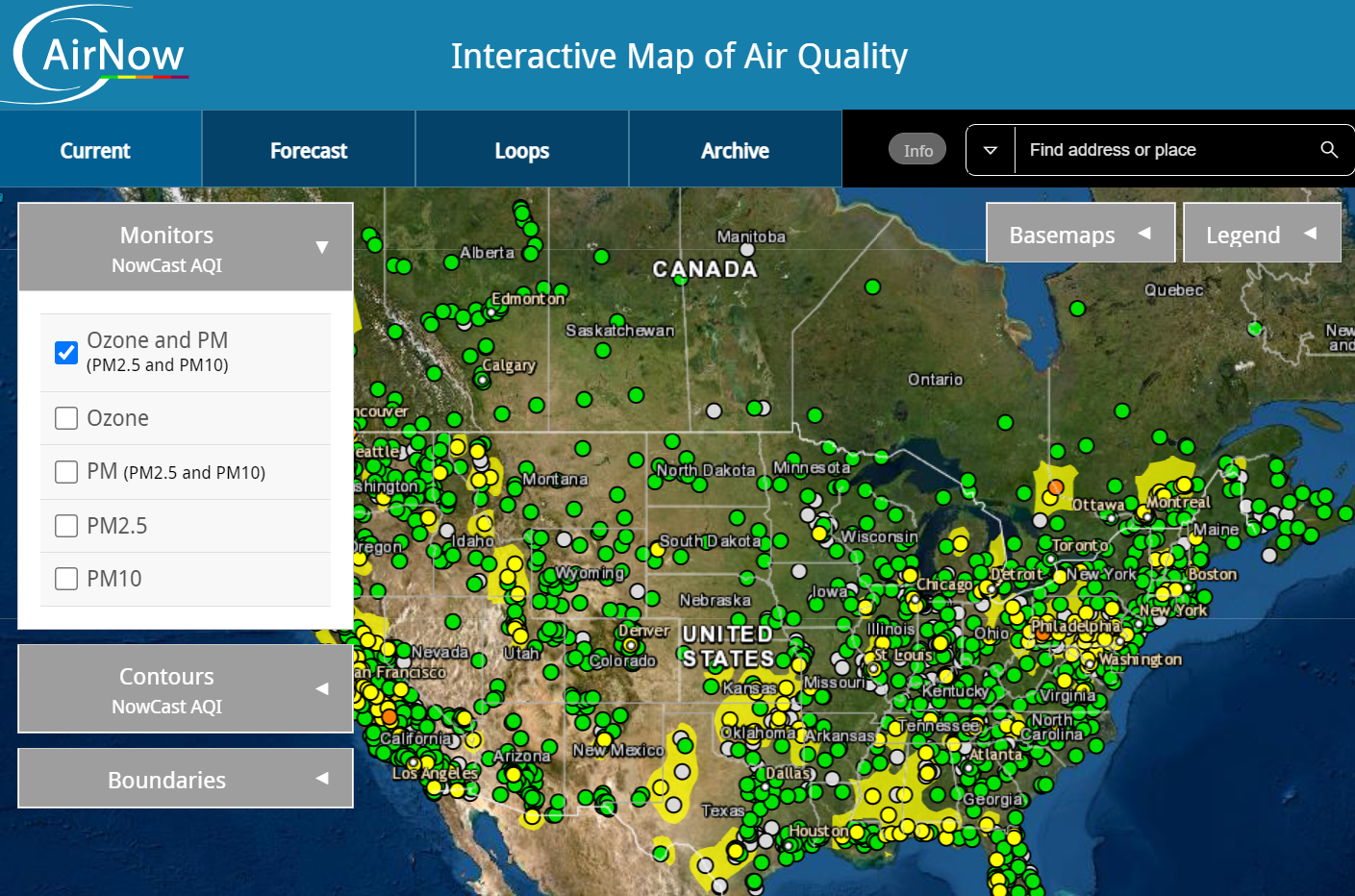
Check out more videos on our videos page!